The City of Detroit and BlueConduit will participate in the upcoming Water Utilities & Lead Line Inventory Webinar to be held Thursday October 26, 2023 at 10-11:30 AM MT. This event is one in a series on Using GIS for State and Local Government Asset Management. You can register for the event now at Asset Mapping Geospatial Virtual Events (series page, event page).
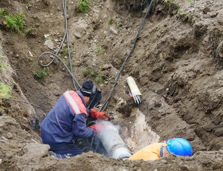
Water utilities play a critical role in ensuring that safe and clean water is delivered to communities. One area of concern for many water utilities is the presence of lead in drinking water, which can cause serious health problems. To address this issue, water utilities often maintain a lead line inventory, which involves identifying and replacing lead pipes in the distribution system. Geographic Information Systems (GIS) technology is often used to support these efforts, as it allows utilities to map and analyze the location of lead pipes in relation to other infrastructure and demographic data. This helps utilities to prioritize replacement efforts and ensure that resources are targeted where they are needed most. Overall, water utilities’ use of GIS for lead line inventory is an important step in protecting public health and ensuring safe drinking water for all.
Asset Mapping Events website
Speakers will be:
- Howard Crothers and Alex Kabak from Esri
- Bryan Peckinpaugh from the Detroit Water and Sewerage Department
- David Grafton from Bad Elf
- Dunrie Greiling from BlueConduit.
Hope to see you there!


